Naomi and I entered the Saunders “Kirkfell” class this year; Naomi’s first MM, and my first really long outing since busting the knee. The forecast was terrifying but in fact we started at Wasdale Head in warm sunshine, and the whole weekend could find nothing worse than a bit of cloud and drizzle.
Here are the course descriptions for anyone who fancies tracing the route… this being the information competitors are given at the start of each day.
Day 1
Theoretical straight line distance 23.1 Km
Minimum possible ascent 1395 m
Start 181 104
- 182 109 Reentrant, Southeastmost
- 214 110 Gully 675m
- 216 090 Stream Junction
- 207 077 Stream Bend, Southeastmost
- 199 047 Sheepfold
- 144 033 Gully Bend 225m
- 119 060 Wall Bend
- 090 076 Finish Day 1
Day 2
Theoretical straight line distance 19.2 Km
Minimum possible ascent 1025 m
Start 090 076
- 097 097 Stream Bend
- 108 096 Stream Junction 12:30
- 138 065 2m Cairn
- 159 088 Small Tarn, Southwest End
- 159 102 Tarn, South Side East End
- 168 117 Wind Gap Col
- 186 118 Knoll, North Side
- 177 105 Sheepfold (boulder)
- 186 088 Finish
We started up Black Sail Pass after an easy first CP, then ESE to traverse the North side of Great Gable below Windy Gap to checkpoint 2 on the N side of Green Gable.
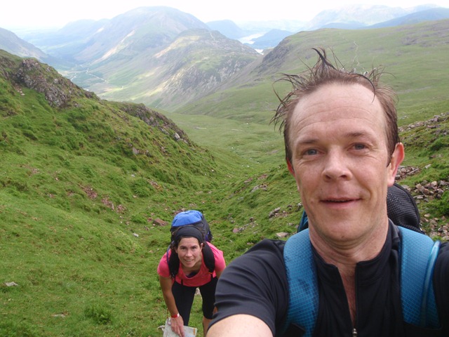
Over GG and part way down Aaron Slack, cutting across to Styhead.
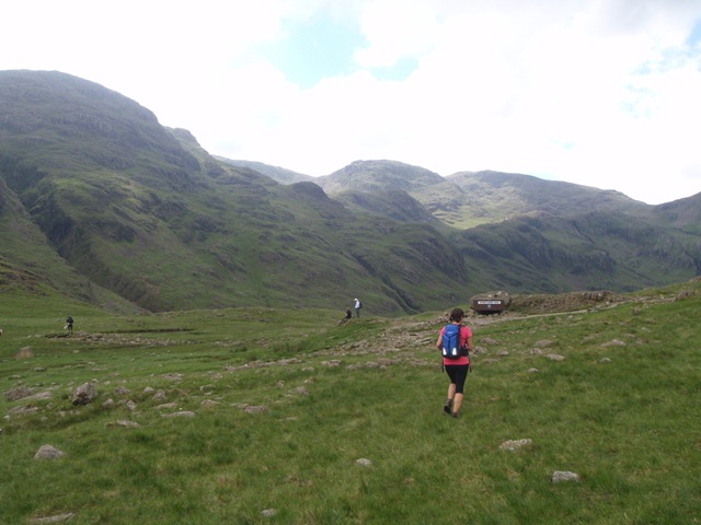
Down into Lingmell Beck to CP3, then a steep climb back up to the Corridor Route. This and the next checkpoint were almost identical to ones I had visited in the Scafell class in 2011 with Ben Crowther, although we were moving in the opposite direction this year.
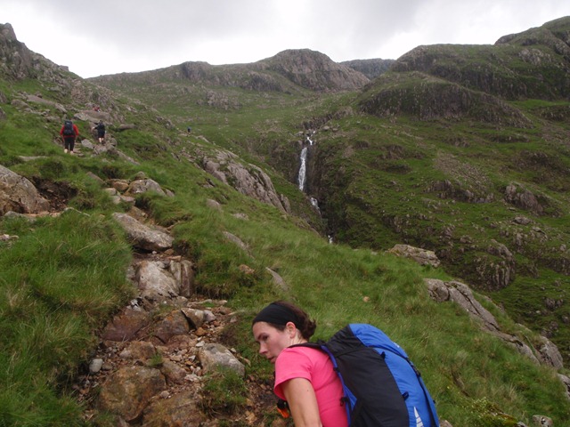
Between Lingmell and Scafell Pike into Lingmell Gill, then round the W of Black Crag to traverse the flank of Scafell to a sheepfold checkpoint between Broad Tongue and Quagrigg Moss. West (through the bogs) up the flank of Illgill Head to nip around the upper section of Little Grain Gill, then contouring around the E side of Whin Rigg at about 460m.
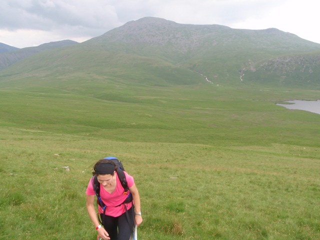
Next was a fast and steep NW descent to the well-concealed checkpoint in the gully. Then down to bridleways through farmland, through Woodhow, Scale Bridge, and Gill farms, including a “moment of uncertainty” at a path junction, as the Harveys maps are not great in enclosed fieldscapes (that was my excuse, anyway).
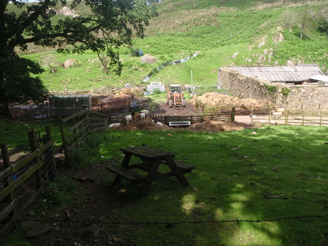
Across the road and up the track to CP7, then awful bog-and-tussock tromping to mid camp at Scalderskew Farm – a uniquely dreadful stretch that had me wanting to ask for my money back. Naomi found the first day pretty tough, but we made a steady pace and there were some interesting navigation problems. The route choice between CP5 and 6 in particular had me scratching my head for the hour leading up to it.
We finished day 1 in 06:47:39, in 30th place out of 102 starting teams. The weather was kind, and we had no rain and very few midges while we brewed up our noodles and chatted with the Chepstow crew. As in 2011, half our foil containers had ruptured during the run, leaving only two small ones for all the cooking. I might take a proper pot next time as this is a risky strategy for the saving of a few grams. The balloon beds were great as usual, and this time we had balloon pillows too!
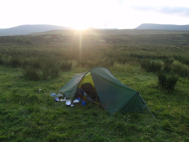
Day 2 started up the forestry track to Worm Gill, then ENE then across Cawfell Beck and around the W end of Hause to cross the River Bleng (a lot unfamiliar names). We traversed the SW flanks of Seatallan, then as we approach Greendale Tarn we met Joss Naylor bounding down the misty hill with walking poles and two collies. This section was all a bit of a procession. I’d not experienced this in previous years doing the Scafell class, as that has around only 20-30 teams entered, and I’ve usually been in the chasing start on day 2. We tried to take clever route choices, but there wasn’t much choice to be had really, and were usually others in the same class in sight.
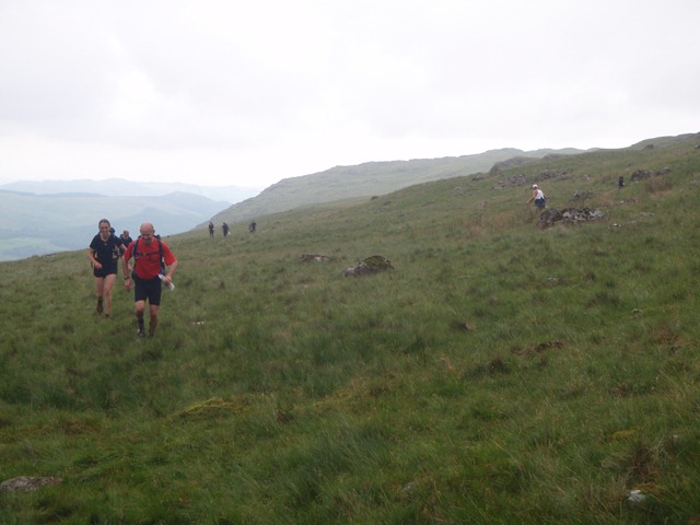
Above Greendale Tarn we descended just NW of Standy Gill to Nether Beck, which was slightly hair-raising on wet ground.
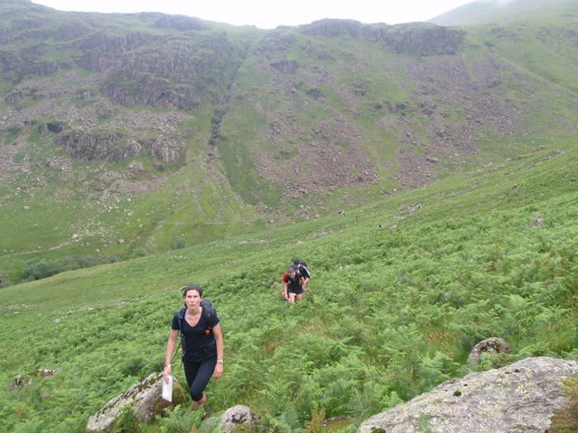
Then we climbed beside Black Beck to CP4, then at last managed to leave the crowds as I took pretty much a straight line routes from there to Scoat Tarn “South Side East End” (other teams went further West to reduce the ascent, but the Harveys map suggested that area was pretty wrinkly so I stuck to the better ground and less distance. To be honest I don’t think it made much difference, as we met a team at Scoat Tarn who we had been with previously.
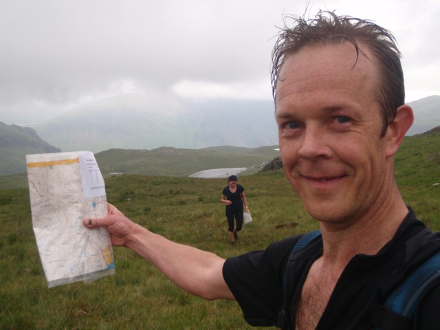
Then we climbed steeply to the saddle between Red Pike and Little Scoat, then followed the path to Wind Gap in cloud. There was quite a bit of staggering around boulder fields here, and cutting across the South side of Pillar was also hard going. But from there is was fast running down to the final checkpoint on the N side of Looking Stead, with the finish in sight.
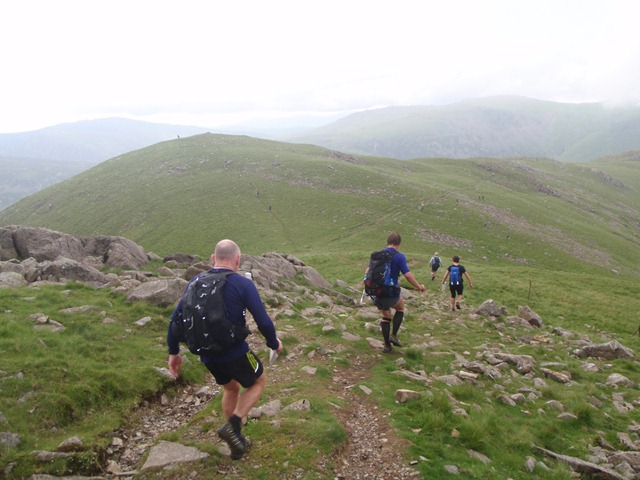
We dropped directly down onto the Black Sail pass path, leaving it at Gatherstone Head to go for our final sheepfold. By now Naomi was running more strongly than at any time over the two days, and our last mile and a bit to the finish was pretty good.
It was great to sit in the freezing stream at the finish, before the final endurance test of undercooked bean stew.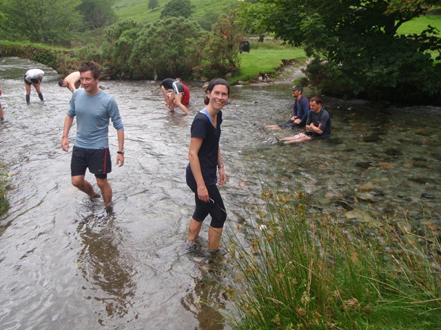
We finished day 2 in 04:43:15, 25th on the day and 28th overall. We were 11th mixed pair out of about 30, so all in all pretty good going. For me it was a very different event from being at the sharp end in the Scafell class, but it was great to do it with Naomi and to get round without any navigational howlers.
Will we be there next year…? Watch this space.