As folk will surely know, I’m organising a South Wales Traverse relay with exeGesIS colleagues on 7th – 8th June, the aim being to complete the 73 mile route in less than 24 hours. This is a Big Ask, requiring an average speed over 3mph over mountain terrain, with lots of colleagues whose main form of exercise is writing software. We’re doing it mainly for the challenge, but taking the opportunity to raise some money for good causes as well – please donate if you can on our fund raising page – thanks!
I’ve broken the full route into 13 legs with a pair on each leg. Stewart Bellamy and I are doing three legs - about half the route overall - the first leg from Herbert’s Quarry to the Black Mountain ridge, the main Brecon Beacons hills from Fan Llia to Allt Llwyd (in the dark!), and the last leg along Offa’s Dyke path to Llanthony Priory.
I’ve not been out to the Western end of the route since we last did the Traverse in 2004, and needed to check my estimated timings for this section, so I took advantage of the fantastic weather this weekend to take the family over there and recce the route.
It’s an amazing drive; not long after turning left in Trecastle views of the Black Mountain ridge start to break the skies over the forestry, then reveal their full striking form when you clear the trees to cross the moorland. I wish I’d stopped to take a photo – maybe next time. Then down the wiggly lanes to Twynllanan, on to the A4069, and climb the hairpins to the quarries. The family dropped me off and headed back to Llandeusant and the car parking area below Llyn y Fan Fach, where much fun can be had in the stream.
I’d had a hard run at the Cwmdu Race the day before, so set off very cautiously from the quarry car park in sunshine and a chilly wind. The first summit of Garreg Lywd was reached in 11 minutes, the second (Foel Fraith) in another 12. I love this area – completely deserted, good underfoot, skylarks larking about, limestone, what more could anyone want…
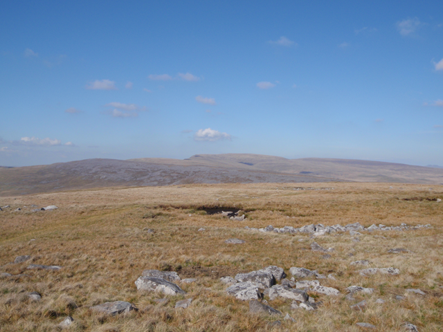
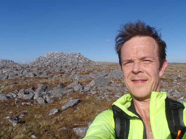
I then took a rubbish line across to Garreg Las, dropping a bit too far South, but there’s not much choice once on the ridge, and it’s a case of picking a line through the limestone boulders ‘til you reach the prehistoric Carnau’r Garreg Las, seen here behind a very sweaty me…
I forgot to take my split time here, in my excitement at tripping over the endless boulders (and beginning to revise my declared love for this area!). But it’s soon back onto the grass as you swoop North and then ENE to cross the swampy ground before the final climb to Bannau Sir Gaer. Here I am halfway to the sky…
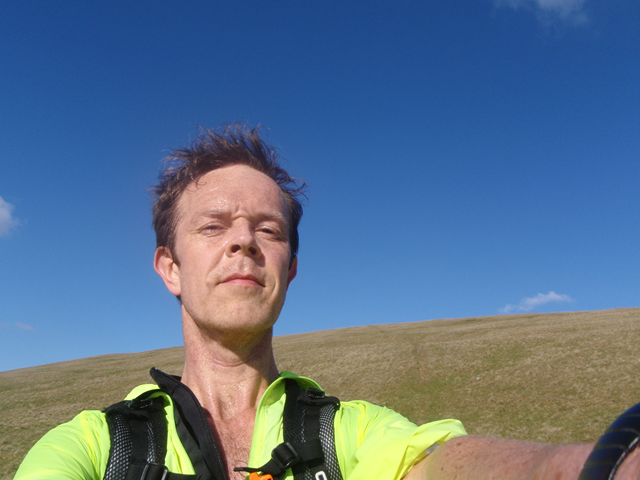
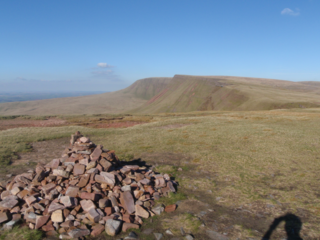
and finally reaching the end of the leg in 1 hour and 08 minutes, bang on my estimate for the leg. Here’s a shot from the changeover point looking East along the main escarpment towards Picws Du and Fan Brycheiniog:
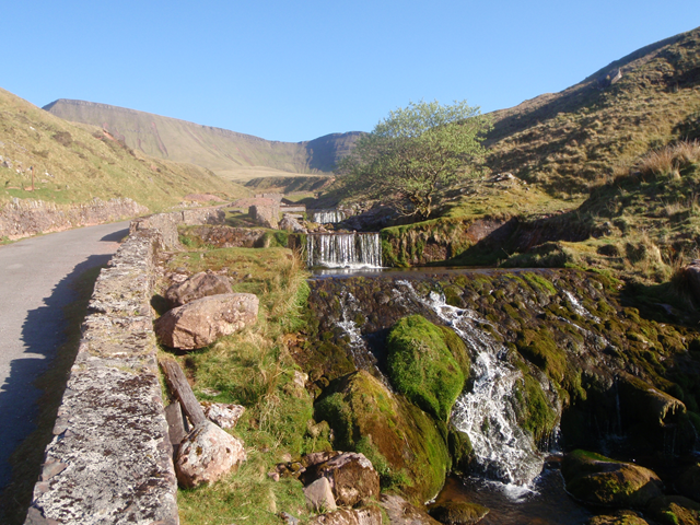
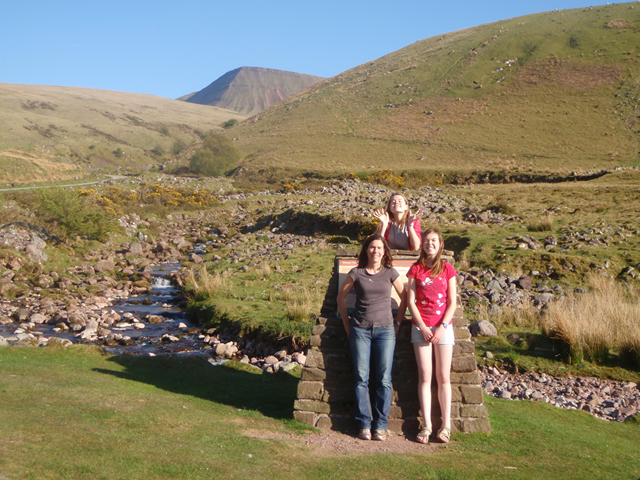
I jogged back down the track by Llyn y Fan Fach to meet the others, who were having fun in the stream as predicted (Robin had found a raft fashioned from twigs and string).
I was carrying our “SPOT” live location tracker, which we will be using during the event to show our location in real time. This does work, but there are some disappointing aspects. For example the position is only recorded every ten minutes (and in practice often not even this often), leading to a massively approximated result (there could be nearly two miles between sample points on downhill sections for a runner). The GPS locations are very inaccurate, often up to 100m off the correct location. The embedding script they supply to allow you to show the location map within your own website uses the old deprecated Google Maps v2 API, and seems to have trouble keeping up-to-date with the readings on the SPOT server. It just feel like it all needs a little work to bring it up to date, but overall it’s worthwhile kit to show supporters and participants where we are on the route at all times.