An email from “SI entries” reminded me there’s a Mountain Marathon to be run in a mere 4 weeks. Having run less than 30 miles in the last month, this is a pretty dire situation. Add to that the weirdness in my left foot, which has been kind of not working for the last three weeks.
Still, must keep buggering on, so headed for the Black Mountains today for a bit of training in carrying the pack and navigating, not to mention running up and down hills.
I parked up the lane by Castell Dinas, and found my first ridiculously easy checkpoint – nice one. It’s actually quite hard to set yourself a good navigation course; controls either turn out to be too easy, because you knew where they are to start with, or completely impossible / non-existent, like my second for today – a “BS” (boundary stone?) marked on the OS 25K somewhere beyond the back of nowhere. I thrashed around in the heather for a while, in the right general area, then gave up.

Next up was the “Bird House” – again marked on the 25K map on an otherwise featureless hillside – mysterious. It was about 800m from the previous, and on the same contour, and again I nearly gave up looking until I spotted a lump in the middle distance.
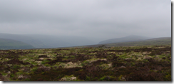
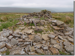
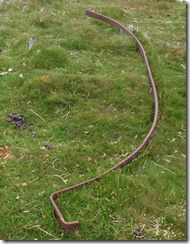
I hope it’s apparent from the picture just how miserable underfoot conditions were – Damon’s favourite mix of heather, tussocks, and well-concealed holes. Anyway the “bird house” turned out to be a tiny ruined stone structure, of rectangular dry stone construction, with about 4 iron bands mangled in the rubble. These bands were curved as if to support a domed roof, then had an angled section at the end, as it to hold a large beam or something. I haven’t a clue what it could have been for.
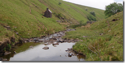
Next to the world’s smallest bothy, probably, where I stayed a night with Lois and Helen a couple of years back.
Then up to the ridge between the summits of Waun Fach and Pen y Gadair Fawr, and down to the Maen Llwyd standing stone, which I’ve never visited before.
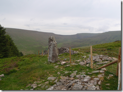
The weather throughout was a pretty miserable contrast to last week’s sunshine in Norfolk – drizzle and low cloud.
My final checkpoint was one of the cairns below Pen Trumau close to the Waun Fach race route, then down and up the bridleway past Castell Dinas and back to the car.
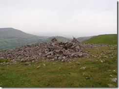
2 hours 49 minutes, and really quite knackered. Not sure of the stats, but around 13-14 miles and 3300ft ascent. And 17 million tussocks.